environment
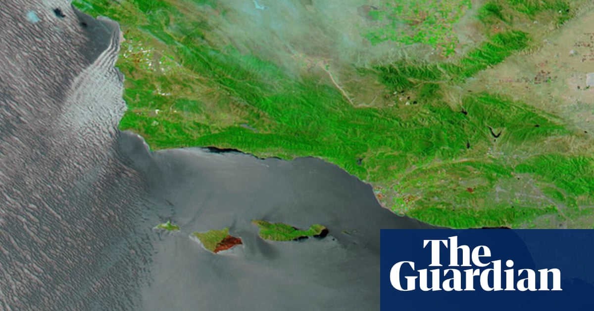
Nasa images show wildfire damage to island dubbed ‘Galapagos of California’
The satellite visuals reveal vast burn scars after blaze tore through rare ecosystems on Santa Rosa Island
TL;DR
- Nasa satellite images show extensive burn scars on Santa Rosa Island from a wildfire that consumed about a third of its land.
- The fire is believed to be the largest recorded on the island, impacting its unique ecosystems and rare species.
- The cause of the fire is under investigation, with initial reports suggesting a sailor's distress flares may have ignited it.
- Firefighting efforts were hampered by strong winds, challenging terrain, and the need to protect delicate habitats and archeological sites.
- Attention is now shifting to restoration and protection of wildlife, with specialists assessing soil stability, hydrological changes, and threats to resources.
- Santa Rosa Island is home to many endemic and threatened species, earning the archipelago the nickname 'Galapagos of California'.
- The island also holds significant cultural importance, with ancestral Chumash sites dating back over 13,000 years.